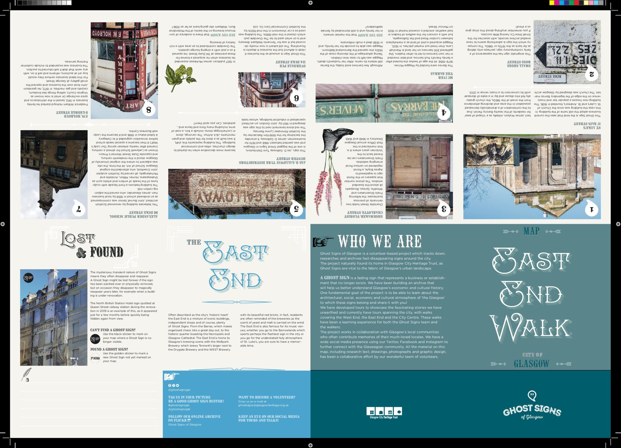
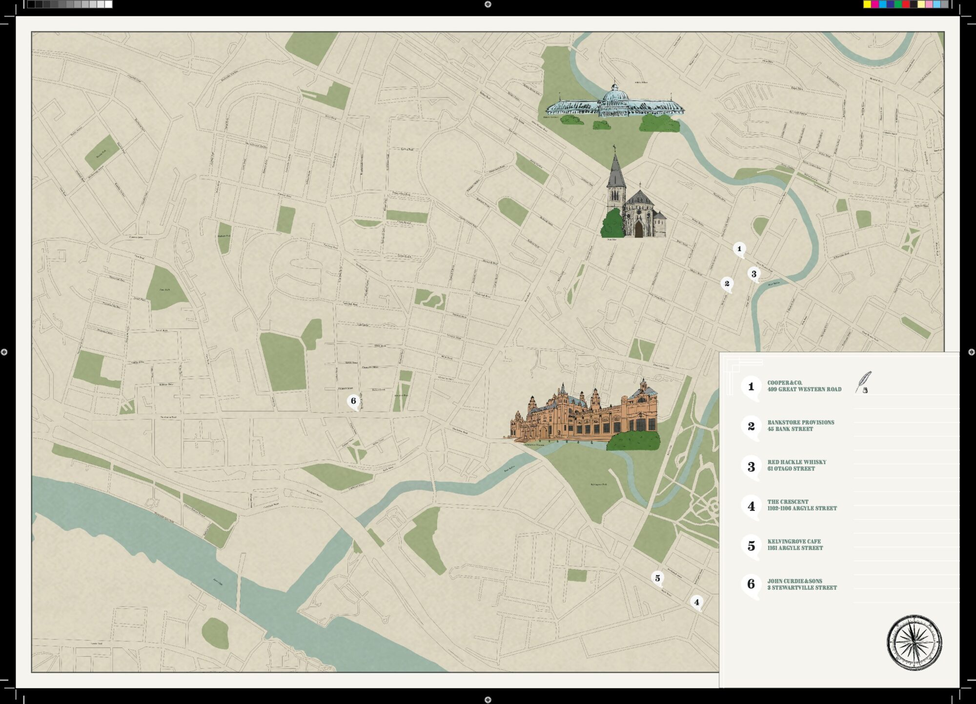
Ghost Signs of Glasgow are excited to announce the digital launch of three maps with carefully selected Ghost Signs, enabling you to discover hidden stories of Glasgow. The maps are now available to download and print for free, allowing you to go on self-guided tours of Ghost Signs in Glasgow’s City Centre, East End and West End in your own time, at your own pace. Each map has a number of carefully selected Ghost Signs, complete with historical information, photographs and a carefully designed map detailing the locations of the signs.
For those of you who don’t already know us, Ghost Signs of Glasgow is a volunteer-based project started by Glasgow Heritage Trust. The project tracks down, researches and archives fast disappearing signs around Glasgow. This might take the form of an old shop front, a faded painted advertisement or even a hidden stained-glass window. Through crowd sourcing, architectural, social, biographical, material and oral histories, the project has unearthed some interesting stories of Glasgow, its buildings and the people who have lived here.
Beginning in 2018, through free, volunteer-led guided walks, we have been able to share our research with the public, often also gathering more historical information from walk attendees themselves along the way. Whilst we are currently unable to facilitate volunteer-led tours of the Ghost Signs tours, these maps enable self-guided tours.
Feel free to use these maps to mark any undiscovered signs and get in touch to let us know @ghostsignsgla on Twitter, Facebook or Instagram or via email ghostsigns@glasgowheritage.org.uk
As a crowd sourced research project, we are constantly updating our archive and welcoming new signs and information! Despite lockdown measures over the past few months, we have been kept very busy with the design and production of these maps. In true Ghost Signs style, the process has been a volunteer-based effort.
Initially meeting regularly in cafes around the city, remember meeting in cafes? We eventually turned to Zoom once the lockdown was enforced. Our resident graphic designers, writers, proof editors and illustrators were then kept busy working on cartography, design, writing, illustration and editing.
Drafts of the maps were sent through email by our graphic designers, who compiled the information, which we then discussed, proof-read and edited. All photographs, design, research, text and original drawings visible on the maps are sourced from the work of the volunteers – Research Assistants, Photography Assistants, Tour Assistants and Map Assistants; the final product a true collective piece of work.
We are happy to say how proud we are of the maps, everyone’s efforts, and hope you have as much fun with them as it has been creating them.
Free copies will be available from Glasgow City Heritage Trust office at 54 Bell Street as soon as it will be safe to open again to the public, in the meantime download your digital free copy and have fun!


